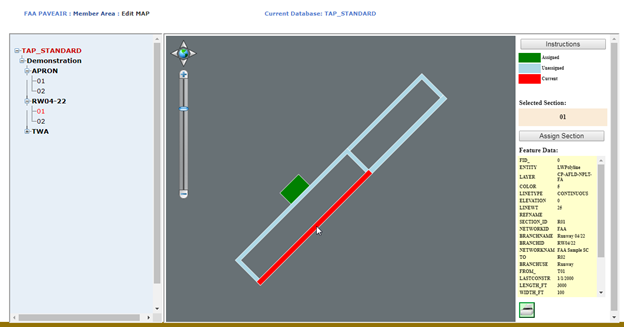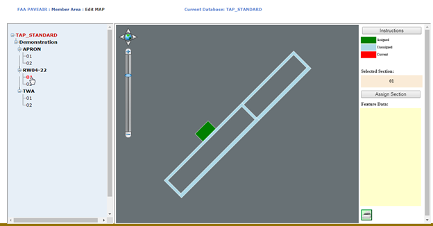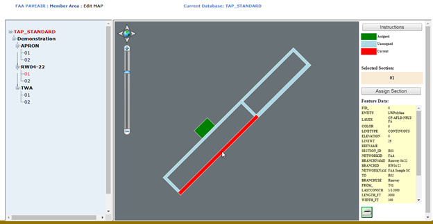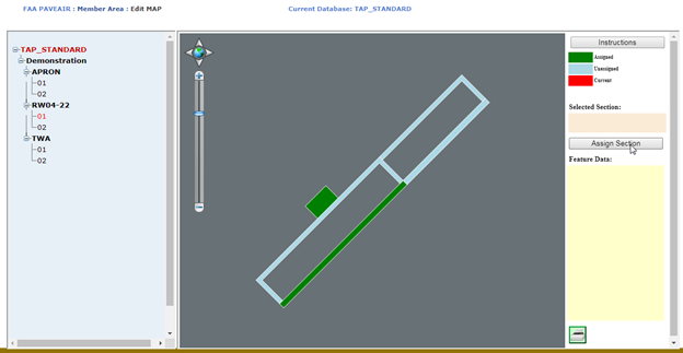
The module is used to assign pavement sections to specific areas in a shapefile. Assigned areas on the shapefile are colored in green and unassigned areas in light blue. The currently selected section is shown in red.

To assign a section to an area on the shapefile:
•Click on the section name from the tree on the left. The section name will turn red and the selected section name will appear in the “Selected Section” box in the right pane. If the section has already been assigned to a polygon, that polygon will be selected and turn red. Any attributes for the polygon are shown in a table on the bottom right.

•Next, click on the location of the section on the shapefile in the center pane. The selected area on the map will turn red and any attributes for that polygon in the shape file will be displayed in the Feature Data box.

•Finally, click on the “Assign Section” button on the right. The section is now assigned (associated with the polygon in the shapefile) and will turn green.
