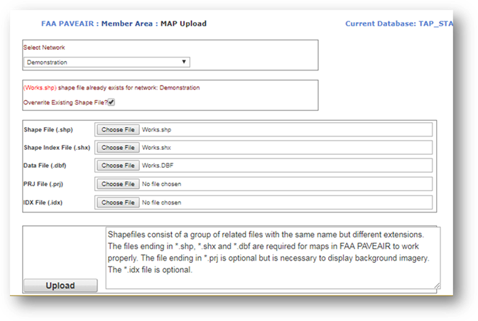
This module allows for the upload of GIS Shape files to FAA PAVEAIR. The shape file can then be used in the “Mapping” and “Reports” modules. If a user attempts to upload a shapefile to a network that already has a shapefile attached, a warning and verification will be displayed. The user must select the checkbox to continue with the upload and overwrite the existing shapefile.

To upload a shapefile:
•Shapefiles consist of up to nine individual files. FAA PAVEAIR requires the upload of the .shp, .shx, .dbf files and supports the use of the optional .idx and .prj files. The .prj file is required for the mapping module to show the correct aerial photography background for the shapefile. Press the "Choose" button and locate each of these files, then press the "Upload" button.
Your shape file is now associated with your database and can be used in the Mapping and Reports modules. FAA PAVEAIR currently supports shapefiles of type Polygon or PolygonZ.